Showing posts with label mountains. Show all posts

Wednesday, June 18, 2008

Do you have your tickets?

To what?

To the gun show Istanbul!

Maybe that's an inside joke that only frisbee players will get. What about a Mastercard Moment:

  • One way flight to Istanbul: $956
  • Visas to Russia, Kazakhstan, and Uzbekistan: $850
  • Home brewed vodka: $3/litre (the only affordable bit of this insanity)
  • Travel a quarter of the way around the earth, from Istanbul to Mongolia via a plethora of countries most people haven't heard of in any crap car that has an engine with no more than 1 litre of power: Priceless

Also, yet another New Zealand gallery uploaded. Check out Mt. Cook, Arthur's Pass, and the West Coast of the South Island.

Monday, June 9, 2008

Ingalls South Peak Ski Tour

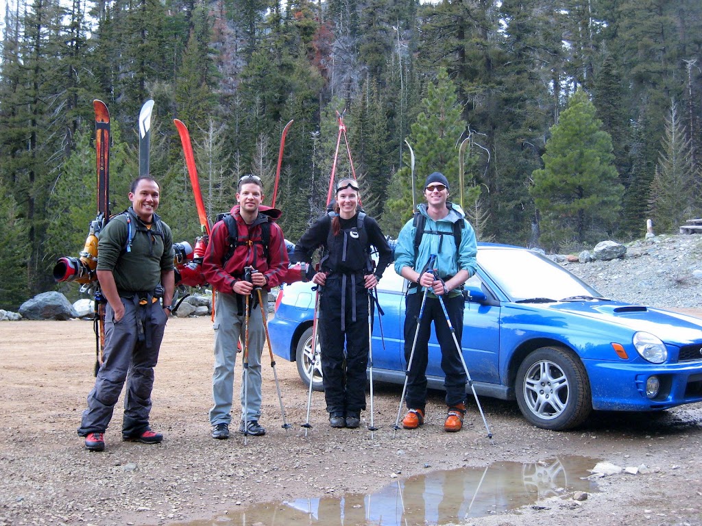
Originally this weekend had been penciled in to bag Glacier Peak with Lia and some of her fellow grad students. A combination of washed out accessed roads, weather, and other commitments led me to be standing outside my apartment at 5:45am Sunday morning waiting for Robert (whom I hadn’t met) to pick me up. We picked up Kyle and Heather (also strangers) but not Lia. It felt kind of like solo travelling in New Zealand again – go meet some random people and do something fun. Fortunately Lia makes friends with great people and we got along splendidly.

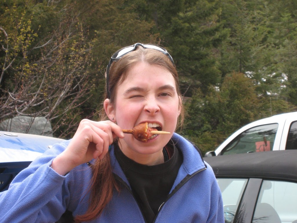
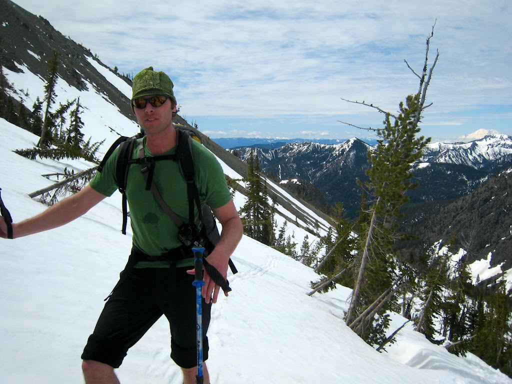
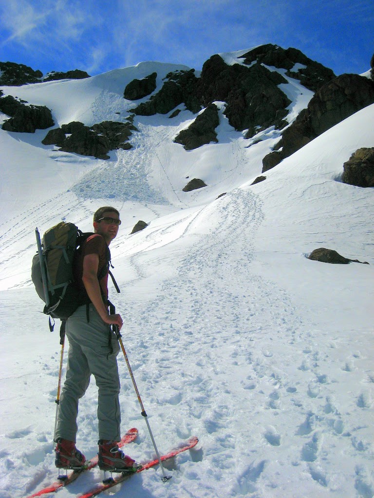
After a quick stop for corndogs at Snoqualmie Pass we hit the trail. Lia and I had climbed Ingalls last fall, but this time things were different as there was snow on the ground as we headed to Long’s Pass After a quick break for food and some artistic shots Robert and I jumped over the lip and skied down a nice bowl towards Ingalls Creek. His run was much more graceful than mine

<rant>This is where I want to have a snazzy embedded video clip but Picasa uploaded videos don't seem to expose this functionality even though they are pretty much Google Videos, which do. But since the intertubes are being flakey at ye olde apartment, I'm not re-uploading the video. So if you want to watch it, follow this link.</rant>

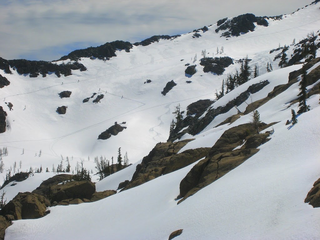
After a fair bit of traversing we finally found Headlight Creek and headed up the slope towards Ingalls
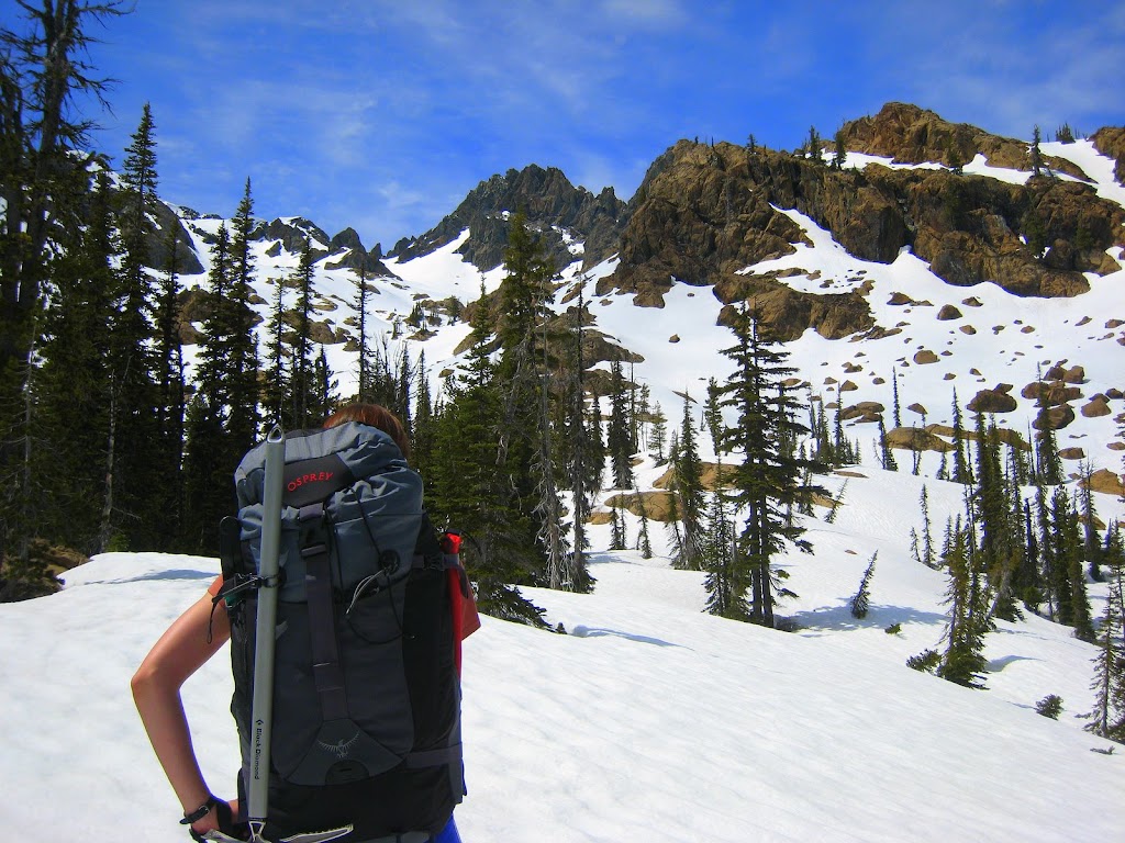
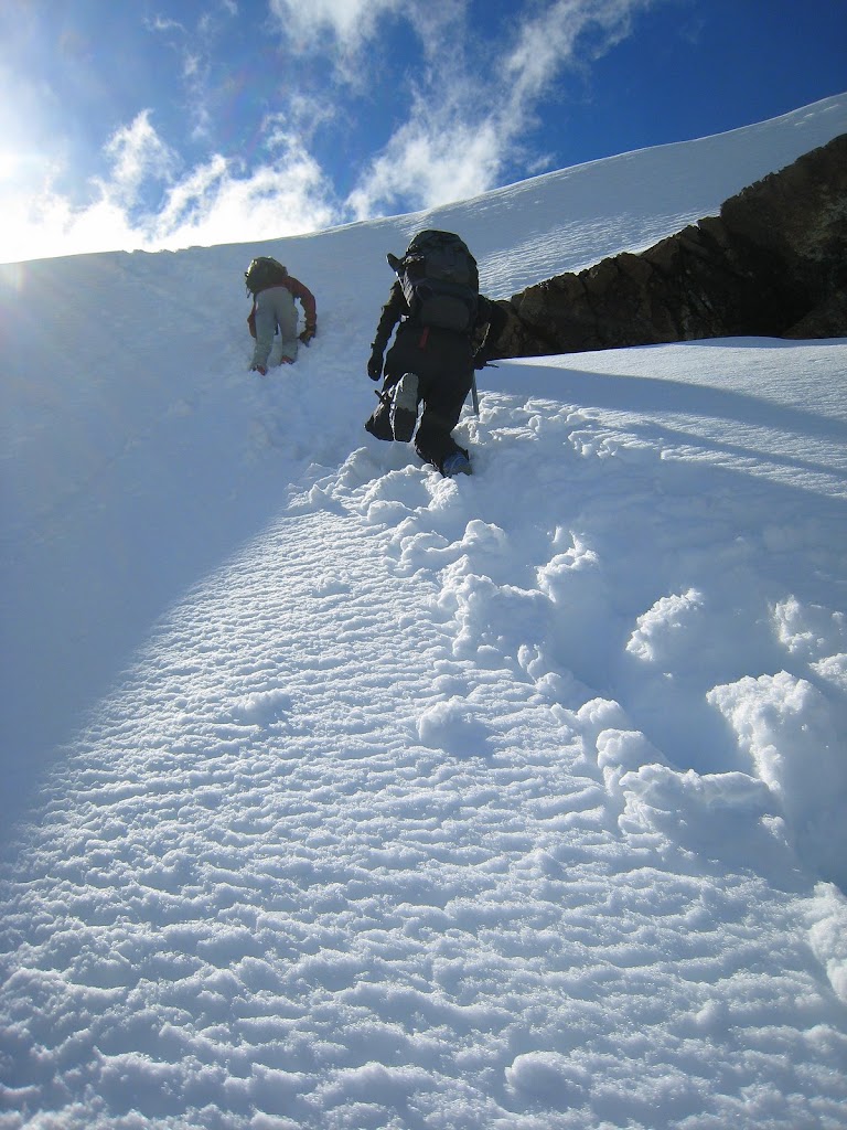
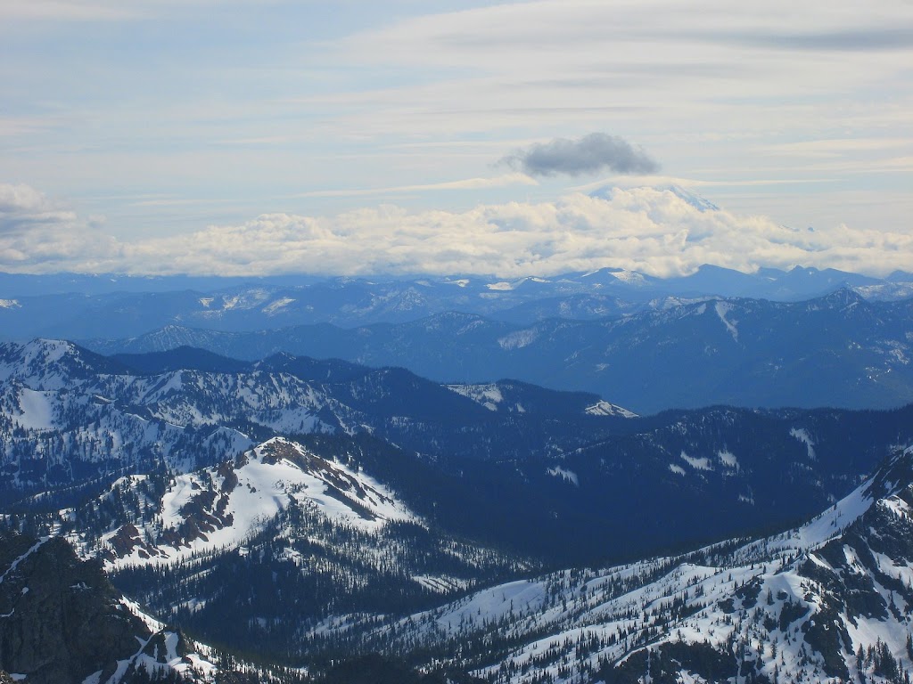
At Ingalls Lake we debated heading off to ski the far valley wall – seems like lots of other people had the same idea But decided to head for the Dogtooth so we could climb South Peak We ditched the skis and made short work of the climb to the top Where we could see the clouds roiling over Mt. Rainier in the distance We headed down and then traversed to the North Fork Teanaway River basin for an amazing ski out Or at least for Robert who’s a great (tele) skier and for Kyle and I who are passable, but have AT gear. Heather was more interested in bagging the peak (“goal oriented”) and getting back to the car in one piece (“I don’t get the thrill you guys get from skiing”). Which we all did at 8:30pm. Last car in the parking lot, but all smiles after a great day! Check out all the photos from the trip here.

Monday, June 2, 2008

Wahoo!

So on Friday I decided to head back to Granite Mountain and try to find my camera. Andrea is also funemployed so she gamely volunteered to come with, even though she'd climbed it earlier in the week as well. This time though I decided I wanted to climb in my mountaineering boots since they are much lighter than my ski boots and have two key features: grippy soles and ankles that bend. The mountaineering boots happen to also fit acceptably well into my snowboard bindings so I brought it along because at least if I didn't find the camera I'd get to say I skied and snowboarded the last week of May.

I'd remembered taking a photo partway up the first big push in the snow:


So it seemed like a good idea to look around where that push ended and I'd taken off my pack (and presumably the camera had fallen out of the case attached to the shoulder strap). The problem was in two days, a lot of melting had occurred and there was much more rock than before. I poked around looking for a big bit of rocks that would have frustrated me enough to change footwear. And then I remembered that while I was changing, Clare was waiting for me next to a tall two pronged stump just a bit ahead. I headed for a likely spot and started making big circles around the place. In about five minutes I'd found my camera just lying on a flat spot - quite lucky because it's a small silver camera amid a bunch of huge grey rocks. I hit the power button and the lens popped out and the LCD came on! I was so ecstatic I took a picture:

Though this picture was slightly more scenic:

Mission accomplished and Andrea's evening theatre plans fast approaching we decided not to visit the fire lookout on the very top of the mountain. Instead I strapped in and headed down the mountain

with Andrea in hot pursuit


Now I get to post and caption all my New Zealand pics (right after I figure out that health insurance thing...)

Thursday, May 29, 2008

Aaaaaagh!

So I finally started pulling pictures from my camera and adding captions yesterday after some delay. Starting naturally with the first part of the trip. By mid afternoon I was partway done and headed off for a conditioning hike (and ski down) of Granite mountain. Of course I brought my camera because I wanted to get my own set of shots like Scott got of our last trip.

Unfortunately I was skiing down instead of snowboarding which meant a) walking was harder because ski boots have little traction and less ankle flex and b) I kept having to futz with my attached gear to keep it from banging on the trees and rocks as I went up. After taking a couple of great shots above the tree line of Duncan in his board shorts in the snow we made a big push to the summit before dark. Just as we were getting to the top, I reached down for a summit shot and discovered an empty camera holder!

I headed back down the mountain to look for it but the last 1000 feet or so had been rock hopping. I was hoping it was at our last rest stop where I'd done significant gear futzing but no luck. I'll head back tomorrow and hope to get lucky. The camera wasn't cheap, but the pictures from the second half of New Zealand are irreplaceable. Guess I'll just have to make another trip. Glad I posted some to the blog at least.

Sunday, May 11, 2008

Tongariro Crossing

I'd spent a couple extra days in Wellington waiting for the weather to clear to do the Tongariro Northern Circuit - a 4 day tramp around Tonogariro National Park. Eventually I headed to Taupo to be that much closer to good weather, but the park rangers and hostel staff kept trying to scare me off with "who knows what the weather will do" and "it's getting into winter." No one seemed to have actual boots on the ground knowledge though (apparently all the volunteer hut wardens are slacking off). So given that I had been unable to convince anyone else to attempt the full circuit with me, I resigned myself to just doing the single day Tongariro Crossing.

Billed as the greatest one day walk in New Zealand, the Tongariro Crossing has a lot going for it -high alpine splendor, brilliant colors, snowy peaks, and a convenient (6:15am) bus from my hostel in Taupo. Also, smack in the middle, Mt. Ngauruhoe, better known as Mt. Doom in the Lord of the Rings.


Oh yeah, it's also an active volcano
Fortunately, life thrives on the sunny northern slope. Gold and silver lichen dot the red and black volcanic rocks
But there is some foul smelling smoke coming out of this vent on the eastern false summit (left hand side of the photo)
After a quick run up the snow and scree - the snow was still frozen hard and quite a pleasure to walk on - I'd made the summit and met a Czech guy who was kind enough to take my photo.
Then the best part of the day, a standing glissade almost the entire way down from 2300m to 1600m! Just like skiing, but without having to lug up the stupid skis.
We'd been discouraged from taking side trips due to the weather and the average inexperience level of the group. But as I rejoined the main trail, I discovered the stragglers were just now making it to the saddle by the warning sign which I'd left 2 hours earlier. Since the bus was going to wait for them anyways, it allowed me to dawdle through the rest of the hike, waiting half an hour for the mists to clear and get a good shot of Emerald Lake
And Blue Lake with a half melted/half frozen grass tussock to provide foreground.
There was a bunch of melting from the previous days' snowfall still in evidence as this poor drain pipe seems not quite up to his job
And this lovely waterfall a little further down the trail.
Definitely the highlight of the North Island so far! Not sure where to next - maybe Rotorua for more thermal action. Or the coast for spectacular scenery. Both are apparently better with a car and those are cheapest in Auckland...

Saturday, May 3, 2008

Arthur's Pass

After a wonderful trip to Muller Hut in the shadow of Mt Cook:

Where it snowed a bit overnight:

I took my rental car and headed North (well south, east, north and west) to Arthur's Pass. Mariell, who I met at Muller, decided to come along as well. We spent the night in the ski town of Methven planning to leave at 8am. unfortunately they had a wonderful free breakfast and the host was very chatty about "Flight of the Concords" so we left at 9am. After a very scenic drive to the pass, we talked to the ranger and decided on the Avalanche Peak-Crow River track which would give us some scenic views (for Nate who had tagged Avalanche Peak when it was cloudy) as well as I nice night in a $5 hut! Muller had been $35 and all the ones on Routeburn and Kepler were $40! Plus I could use the stove I'd been lugging around all trip. But when we got back to the parking lot, we discovered I had a flat tire!

After changing it, we headed to drop Mariell's car at the end of the track, and found the road flooded, so we had to stop at each puddle and wade in to see how deep it was. So that delayed our actual start until almost 2 that afternoon. It's supposed to be 3-4 hours up to Avalanche Peak, then another 2.5 hours traversing the ridge and down a scree field to the river and the Hut. All the estimates seem to be a little on the generous side, so we thought we had a chance. After two hours, the summit was in sight.
And by 2.5 hours we'd bagged the Peak:
Sorry you missed these views Nate!
The instructions said, head down the south side of the slope and traverse the scree two valleys over and then descend to the river. Two Czech guys were supposed to be also staying at the hut that night, and so we found what we thought were their foot steps and followed them. Unfortunately they didn't descend far enough and we got to a sketchy descent that didn't look particularly safe. Combine that with Mariell's less than ideal gunn boots and the late hour, we decided to give up on the traverse and head back to town. All was not lost though as we got a spectacular view of sunset.


P.S. Random photo of a church in Lake Tekapo, which would be an ideal destination wedding location. Who wants to get married and invite me back to the Southern Alps? :)

Thursday, April 24, 2008

Kepler Track

... was great - good weather and lots of spectacular views of the surrounding mountains and water. Also a little bit of spelunking and some mushroom hunting. Still no decent internets, but headed south to Stewart Island with a guy I met on the track. He's got a camper van, so I'm going to try the full on New Zealand backpacker experience! Forecast is for rain on Sunday so probably find some time to hole up in an internet cafe and post some pics...